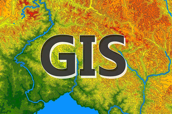
GIS (Geographic Information System) mapping is a powerful tool that integrates geographic data with digital mapping technology to create detailed, interactive maps. This process allows for the collection, analysis, and interpretation of spatial data, enabling users to visualize patterns and relationships within a specific area. GIS mapping incorporates various data layers such as topography, infrastructure, land use, and environmental factors, which can be analyzed to support decision-making in fields like urban planning, environmental conservation, transportation, disaster management, and natural resource management. By providing a visual representation of complex data, GIS mapping enhances understanding, improves planning, and helps to optimize resource allocation.
Would you like more details on the GIS Mapping Services ?