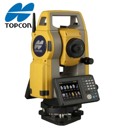
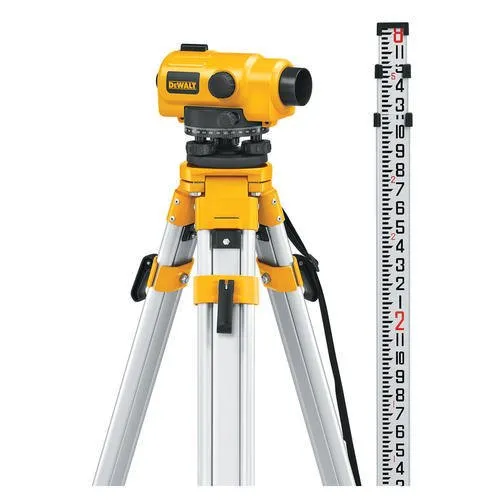
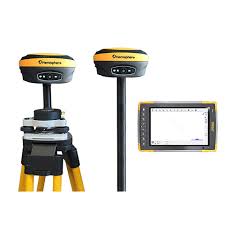
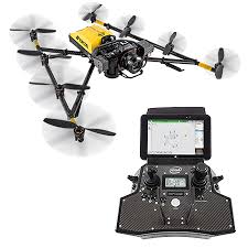
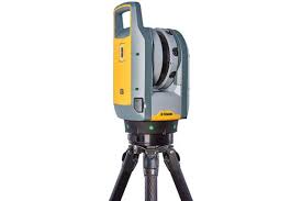
Accurate Point is a trusted land surveying company in Dubai, delivering accurate and reliable survey solutions for the real estate, construction, infrastructure, and land development sectors. Our professional land survey services in Dubai include boundary surveys, topographic surveys, construction setting out, control point establishment, gate level surveys, cut and fill volume surveys, and quantity surveys. Using advanced surveying equipment and industry-approved methodologies, our experienced surveyors provide precise data and authority-compliant reports that support planning, design, construction, and project approvals. We work closely with developers, architects, engineers, contractors, and government authorities to ensure every survey meets the highest standards of accuracy, compliance, and efficiency. With a strong commitment to quality, timely delivery, and technical excellence, Accurate Point helps clients complete projects with confidence while minimizing risks and supporting informed decision-making.
Land Survey
DDA + Trakhees initial, RE & Final Demarcation
Verifies and marks plot limits before & after construction, ensuring compliance with approved plans.